Environment & Research
Science-Based Environmental Water Solutions

How We Can Help
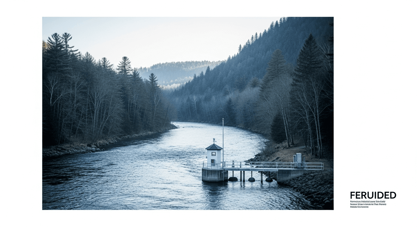
Environmental research and water resource management require accurate data and sophisticated analysis. We provide researchers, government agencies, and NGOs with the tools and expertise to understand water systems at watershed and basin scales. From flood forecasting to climate impact assessment, our team brings rigorous scientific methods combined with practical field experience. Two of the hardest problems in this work are that the data is too coarse and that the data is incomplete, and both are places where machine learning does better than the alternatives. Climate model output arrives on a grid far too coarse for a catchment decision, so downscaling learns the relationship between those large-scale fields and local station records. Long gauge records have holes in them, so gap-filling models reconstruct the missing stretches from neighbouring stations and satellite signals. The hydrology stays physical, because a basin under a climate that has not happened yet lies outside anything a data-driven model has ever seen.
How the work runs
How a environment & research engagement runs, from the decision that starts it to the one it hands back.
State the research question
An environmental flow allocation, a flood warning threshold and a climate adaptation plan each fix a different basin boundary, time step and observation requirement. That comes first.
Characterise the watershed
Topography, soils, land use, drainage network and water bodies are mapped from GIS and satellite imagery, which is the physical baseline every later model rests on.
Repair the gauge record
Long rainfall and streamflow series are gap-filled from neighbouring stations and satellite-derived signals, because an incomplete record is usually what forces a study back to coarse regional assumptions.
Downscale the climate input
The statistical relationship between coarse global climate model fields and local station observations is learned, so a projection can be expressed at a scale a catchment planner can use.
Run the hydrology physically
Rainfall-runoff and routing models are driven with the downscaled inputs, because adaptation work asks about conditions no historical record contains and no learned model has seen.
Set the trigger or allocation
The agency fixes a warning threshold, an environmental flow requirement or an adaptation measure, and the monitoring network is designed to keep testing it as observations accumulate.
Key Challenges
Climate change impact on water resources
Watershed health assessment needs
Flood and drought prediction requirements
Environmental flow and ecosystem needs
Our Solutions
Climate impact modeling on water availability
Watershed characterization and monitoring
Flood forecasting and early warning systems
Environmental flow assessment tools
Statistical downscaling of climate projections and gap-filling of gauge records
Frequently Asked Questions
Watershed characterization maps the physical, hydrological, and ecological features of a drainage basin - topography, soils, land use, drainage network, and water bodies. This baseline understanding is essential for flood modeling, water resource planning, and conservation prioritization. We use GIS and remote sensing for efficient characterization.
We use downscaled climate projections to model future changes in rainfall, temperature, and evaporation. These drive hydrological models that predict changes in streamflow, groundwater recharge, and drought frequency. Results help planners prepare for conditions outside historical experience.
Environmental flows are the water quantity and timing needed to sustain healthy river ecosystems. We assess requirements using hydrological methods (percentage of natural flow) and ecological methods (habitat needs of key species). Environmental flows are increasingly required in water allocation decisions.
Flood forecasting integrates real-time rainfall data, river level monitoring, and hydrological models to predict flood peaks hours to days in advance. Warnings are issued when predicted levels exceed thresholds. We design forecasting systems and train operators for effective flood early warning.
A water quality index combines multiple parameters (DO, BOD, pH, nutrients, etc.) into a single score for easy communication. We calculate indices using standard methods like the National Sanitation Foundation WQI or develop custom indices for specific applications. Indices enable tracking water quality trends over time and across locations.
Wetland monitoring includes hydrology (water levels, flow patterns), water quality, vegetation mapping, and biodiversity surveys. We use remote sensing to track vegetation changes over time and field sampling for detailed assessment. Monitoring reveals impacts of development, climate change, or restoration efforts.
Drought monitoring tracks rainfall deficits, streamflow, groundwater levels, and vegetation stress to assess drought conditions. Early warning systems combine these indicators with forecasts to predict developing droughts. We help agencies establish monitoring networks and response triggers.
Satellites provide data on water bodies, soil moisture, vegetation water stress, snow cover, and even groundwater storage changes. We process satellite imagery to map water resources across large areas, detect changes over time, and fill gaps where ground monitoring is limited.
Many basins lack streamflow measurements. We estimate flows using rainfall-runoff models calibrated from similar gauged basins, regionalization techniques, and satellite-derived data. These estimates support water resource planning in data-scarce regions common across India.
Monitoring program design defines what to measure, where, how often, and with what methods to answer specific questions cost-effectively. We consider statistical power needed to detect changes, practical constraints, and long-term sustainability. Well-designed programs provide reliable data for decades of adaptive management.
In three places, all of them about the data rather than about the hydrology. Downscaling takes global climate model output, which is far too coarse to say anything about a single catchment, and learns the statistical relationship between those large-scale fields and local station observations, so a projection can be expressed at a scale a planner can act on. Gap-filling reconstructs the missing stretches that every long gauge record contains, using neighbouring stations and satellite-derived signals, which is often the difference between a usable record and a discarded one. Classification of satellite imagery maps surface water extent, wetland boundaries and land cover change over areas too large to survey on foot. The rainfall-runoff and routing stays with physical models, because adaptation work asks what happens under conditions no historical record contains, and a model that has only ever seen the past has no basis for answering that.
Ready to Transform Your Environment & Research Water Management?
Let's discuss how we can help you achieve your water efficiency goals.