Stormwater & Urban Drainage
Urban Drainage & Stormwater Management

How We Can Help
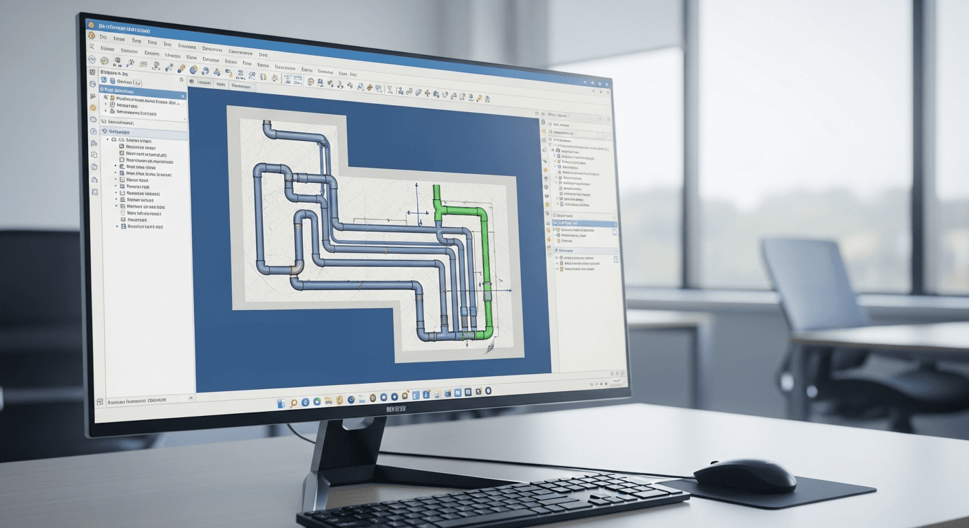
Urban flooding is increasingly common, but preventable with good planning. Our stormwater specialists use PCSWMM and advanced drainage models to help cities and developers design effective drainage systems. We analyze existing networks, identify bottlenecks, and design solutions that work - from green infrastructure to optimized pipe networks. Drainage models live or die on their input data, which is where the machine learning goes. Rain gauge and radar records are reconciled and disaggregated down to the sub-hourly steps SWMM runs at, catchment imperviousness is classified from imagery instead of assumed from a land use table, and anomaly detection on temporary depth and flow monitors separates a silted sensor or a blocked inlet from a genuine hydraulic response before that record is used to calibrate anything. The routing stays in SWMM, because a design storm has to be reproducible and defensible regardless of how many storms happened to fall during the monitoring campaign.
How the model gets built
What a stormwater & urban drainage study involves, from framing the question to the decision the calibrated model supports.
Set the level of service
A one in five year pipe standard and a one in hundred year overland flood check are different tests. Which one applies decides whether the answer is pipes or storage.
Survey the drainage network
Pipe sizes, invert levels, inlet capacity and outfall conditions are captured, and imperviousness is classified from imagery so catchment runoff is measured rather than assumed from land use tables.
Disaggregate the rainfall
Daily rainfall is disaggregated to the five minute steps urban drainage needs, because a catchment that responds in twenty minutes cannot be driven by a daily total.
Verify against monitoring
Short term flow and depth monitoring is screened for silted sensors and blocked inlets, so a fouled instrument is not mistaken for genuine hydraulic behaviour during calibration.
Test the interventions
Pipe upsizing, storage and green infrastructure options are run through SWMM against the design storm, and the residual flood extent is reported for each.
Commit the drainage scheme
The city or developer adopts a scheme with the standard it meets stated explicitly, along with what happens in the event that exceeds it.
Software & Tools We Use
PCSWMM
Professional stormwater management modeling
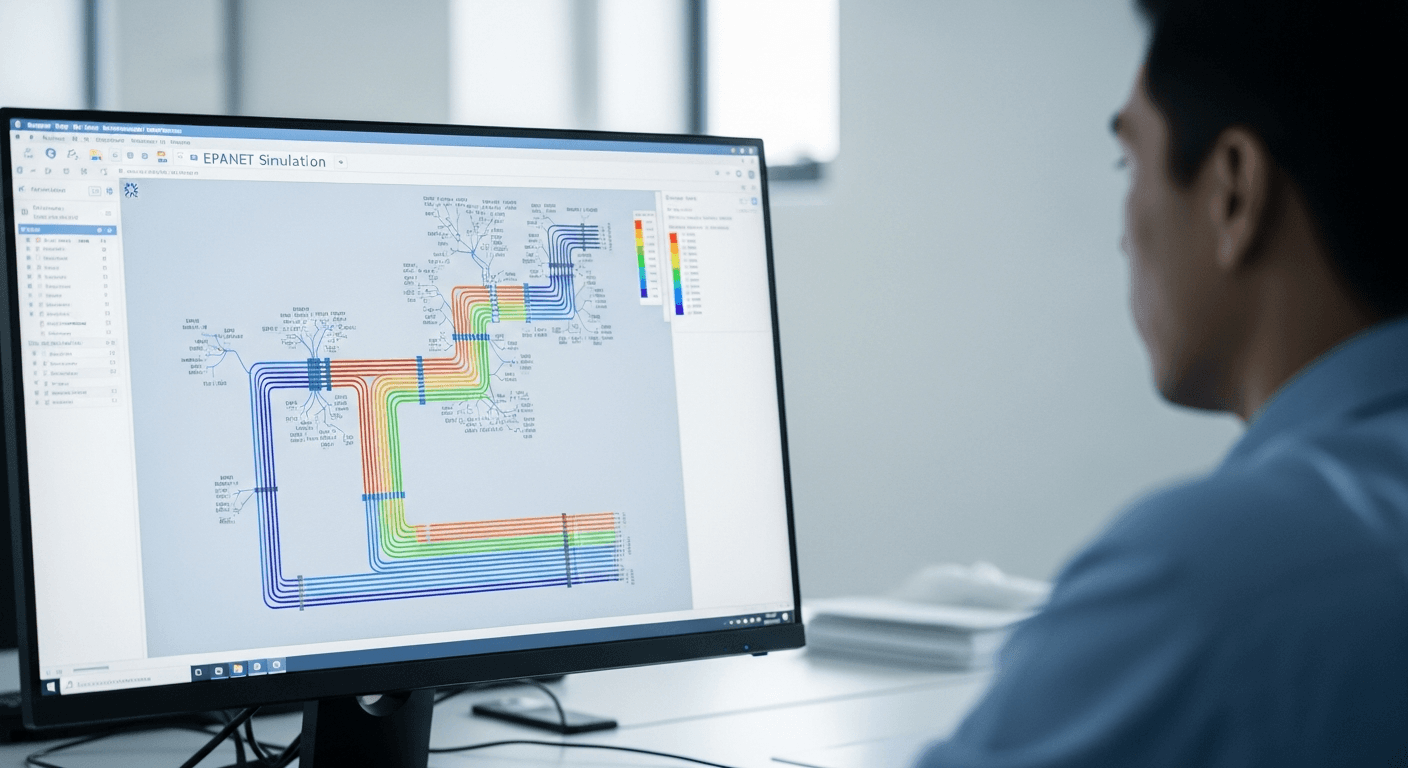
EPA SWMM
Urban runoff and drainage simulation
InfoWorks ICM
Integrated catchment modeling
MIKE URBAN
Urban water network modeling
Applications
Urban drainage system design and analysis
Combined sewer overflow (CSO) management
Green infrastructure and LID design
Stormwater detention pond sizing
Urban flood risk mapping
Anomaly detection on the depth and flow monitors used for model calibration
Frequently Asked Questions
SWMM (Storm Water Management Model) is a dynamic rainfall-runoff simulation model developed by the US EPA. It simulates runoff quantity and quality from urban areas, routes flow through drainage networks, and evaluates the performance of stormwater controls. PCSWMM is a professional interface that makes SWMM easier to use with advanced visualization and analysis tools.
Green infrastructure uses natural processes to manage stormwater, including rain gardens, bioswales, permeable pavements, green roofs, and infiltration basins. These systems reduce runoff volume, filter pollutants, and recharge groundwater. We model green infrastructure performance to optimize designs and demonstrate compliance with stormwater regulations.
Detention pond sizing involves modeling the entire drainage area to determine peak flows for various storm events, then designing storage volume and outlet structures to reduce peak discharge to pre-development levels. We use SWMM to simulate different storm scenarios and optimize pond geometry for both flood control and water quality treatment.
CSOs occur when combined sewers carrying both stormwater and sewage exceed capacity during heavy rain, causing untreated discharge to waterways. Solutions include separating sewers, increasing pipe capacity, adding storage tunnels, and implementing green infrastructure to reduce runoff. Our models help identify the most cost-effective combination of solutions.
Urban drainage modeling requires pipe network data (sizes, slopes, materials), catchment boundaries and imperviousness, topographic data, rainfall records, and flow monitoring data for calibration. We can work with GIS data, as-built drawings, and field surveys to build accurate models of your drainage system.
LID is a stormwater management approach that mimics natural hydrology by infiltrating, filtering, and storing runoff close to its source. LID practices include rain gardens, bioretention cells, permeable pavements, and green roofs. We model LID effectiveness to help developers meet stormwater requirements while minimizing traditional infrastructure costs.
Real-time control (RTC) uses sensors and automated gates/pumps to optimize drainage system performance during storms. Our models simulate RTC strategies to reduce flooding and CSOs by dynamically managing storage and flow. We help utilities design and optimize RTC systems for maximum benefit.
Urban flooding results from undersized drainage, increased imperviousness, blocked inlets, or extreme rainfall. Prevention strategies include upgrading pipe capacity, adding storage, implementing green infrastructure, and improving inlet maintenance. Our models identify the most cost-effective combination of solutions for your specific situation.
We simulate future scenarios by adjusting land use, imperviousness, and drainage infrastructure based on development plans. This helps identify where existing systems will be inadequate and what upgrades are needed. Proactive planning prevents costly retrofits and flooding problems as development occurs.
Detention ponds temporarily store stormwater and release it slowly, reducing peak flows but not total volume. Retention ponds permanently hold water, reducing both peak and volume through infiltration and evaporation. We design both types based on site conditions, regulatory requirements, and water quality objectives.
It has a supporting role, and it is mostly about the monitoring data. A short calibration campaign produces depth and flow series in which real hydraulic responses are mixed with silted sensors, blocked inlets and surcharge from a downstream connection nobody had on a drawing. An anomaly detection model is a faster and more consistent way of separating those than reading every trace by eye, and it is repeatable, which matters when a reviewer asks why a particular storm was excluded. Rainfall is the other half: daily gauge totals need disaggregating to the five-minute steps the model runs at, and imperviousness can be classified from imagery rather than inferred from a zoning map that is a decade old. The design storm simulation itself stays with SWMM, because a drainage system has to hold for a storm the city has not had yet.
Need Stormwater & Urban Drainage?
Get in touch with our expert team to discuss your modeling requirements.