Integrated Water Resources
Basin-Scale Water Resource Planning

How We Can Help
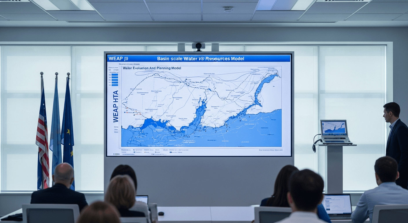
Managing water at the basin scale requires balancing competing demands while preparing for an uncertain future. We use WEAP, MIKE BASIN, and other integrated models to help water planners evaluate allocation strategies, plan for droughts, and adapt to climate change. Our scenario-based approach helps stakeholders understand trade-offs and build consensus around sustainable water management. Allocation rules, water rights and reservoir operating policy are written by people rather than learned from data, so the basin model stays a rules-based simulation and WEAP remains where that logic lives. Machine learning enters through the inputs and through the sheer number of runs a robustness analysis needs. Climate projections are downscaled and bias corrected before they drive a scenario, and seasonal inflow forecasting from catchment rainfall and soil moisture signals helps an operator decide how much storage to hold back going into a dry season.
How the model gets built
What a integrated water resources study involves, from framing the question to the decision the calibrated model supports.
Convene the allocation question
Basin planning starts with who decides what, and on what evidence. Irrigation, urban supply, industry and environmental flow are competing claims on one accounting.
Build the basin accounts
Inflows, storage, abstraction, return flows and losses are reconciled into a water balance, so trade-offs are argued from a shared set of numbers rather than competing estimates.
Encode the allocation rules
Water rights, priorities and operating rules are written into the model explicitly. These are legal and political choices, so they are never learned from data.
Prepare the climate inputs
Coarse global climate projections are downscaled and bias corrected to the basin, and seasonal inflow forecasts inform how much storage should be carried through the dry season.
Screen the scenarios
Large ensembles of allocation and infrastructure scenarios are run through WEAP, with faster approximate screening used to narrow the field before the detailed runs.
Land the shared plan
Stakeholders agree an allocation or drought rule with the trade-offs made explicit, and the monitoring that keeps the accounts honest is defined alongside it.
Software & Tools We Use
WEAP
Water Evaluation And Planning system
MIKE BASIN
River basin management modeling
RIBASIM
River basin simulation
SWAT
Soil and Water Assessment Tool
Applications
Water allocation and rights management
Drought planning and management
Climate change adaptation planning
Multi-sector water demand analysis
Reservoir operation optimization
Downscaled climate inputs and seasonal inflow forecasting for basin scenarios
Frequently Asked Questions
WEAP (Water Evaluation And Planning) is an integrated water resources modeling tool that simulates water demand, supply, and allocation across a river basin. It helps planners evaluate different scenarios for population growth, climate change, infrastructure investments, and policy changes. WEAP is widely used by governments and organizations worldwide for strategic water planning.
We use downscaled climate projections from global climate models to adjust temperature and precipitation in our water resource models. This allows us to simulate future water availability, drought frequency, and flood risk under different climate scenarios. Results help water managers develop robust adaptation strategies that perform well across uncertain futures.
Water allocation modeling simulates how water is distributed among competing users (agriculture, cities, industry, environment) based on water rights, priorities, and infrastructure constraints. Our models help evaluate allocation policies, assess impacts of new demands, and optimize reservoir operations to meet multiple objectives while respecting legal and environmental requirements.
Drought planning involves modeling water supply reliability under various drought scenarios, identifying triggers for drought stages, and evaluating response options like demand reduction, alternative supplies, and operational changes. Our models simulate droughts of different severities and durations to test plan effectiveness and identify vulnerabilities.
WEAP focuses on water allocation and demand management at the basin scale, while SWAT (Soil and Water Assessment Tool) emphasizes watershed hydrology and water quality. WEAP is better for planning studies involving demand scenarios and allocation rules. SWAT is preferred for detailed hydrologic simulation and agricultural watershed assessment. We often use both tools together.
Reservoir optimization balances multiple objectives: water supply, flood control, hydropower, and environmental flows. We use simulation-optimization models to develop rule curves and release policies that maximize benefits while respecting constraints. Our models evaluate trade-offs and help operators make better real-time decisions during droughts and floods.
Conjunctive use involves coordinated management of surface water and groundwater to maximize overall water availability. During wet periods, excess surface water recharges aquifers; during dry periods, groundwater supplements surface supplies. Our integrated models simulate these interactions to design optimal conjunctive use strategies.
Environmental flows are the water regime needed to maintain healthy river ecosystems. We use hydrological analysis and ecological assessment to determine flow requirements for different seasons. Our water allocation models then incorporate these requirements as constraints, ensuring development doesn't compromise ecological sustainability.
Water footprint measures the total water used to produce goods and services, including direct use and supply chain water consumption. We conduct water footprint assessments for organizations, products, and regions using international standards. Results help identify water risks, improve efficiency, and communicate sustainability performance.
Scenario modeling simulates 'what-if' questions about future water management. We develop scenarios for population growth, climate change, infrastructure investments, and policy options. Comparing results across scenarios reveals which strategies are most robust and helps build consensus among stakeholders with different priorities.
Not in the allocation logic. Who gets water first in a shortage is a matter of rights, policy and negotiation, and encoding that explicitly in WEAP is the whole point of the exercise. A model that learned allocation from past behaviour would simply reproduce the arrangement the plan exists to change. Machine learning belongs at the inputs and at the scale of the analysis. Climate projections have to be downscaled and bias corrected before they mean anything for a single basin. Seasonal inflow forecasting, trained on catchment rainfall, soil moisture and snow signals together with historical inflows, informs how much storage an operator holds back going into a dry season, which is a decision made on incomplete information every year. And where a robustness analysis needs hundreds of combinations of demand growth, climate and infrastructure rather than a handful of named scenarios, an emulator trained on the basin model's own runs can screen the combinations quickly so the full model is reserved for the ones that survive screening.

Need Integrated Water Resources?
Get in touch with our expert team to discuss your modeling requirements.